Aisha Head on the west end of Papa Stour
We woke up to the sound of wind beating on the windowpanes in the ceiling of our bedroom. The sky was gray and I thought seriously about staying in bed at least another hour longer to catch up on the sleep we missed during our travels.
But today was the only full day we had to explore the island of Papa Stour, no matter what the weather, so I got out of bed reluctantly before Doug and went downstairs to start breakfast.
I must admit my tea addiction has only gotten stronger since arriving on an island where black tea comes in gigantic boxes and there are electric pots on all the counter tops and a cream so rich that it’s like dessert itself to add to hot tea.
So I made a pot of tea to start the day and got dressed with rain in mind since it was supposed to be wet. D. eventually joined me downstairs for a breakfast of fresh jumbo eggs, smoked salmon, fried potatoes, and fruit. We needed to fortify ourselves for a long day of walking around the edges of the island.

Dressed in all of our gear, we headed down the grassy road towards the bottom of the hill. We saw four people. A man walking with his poodle to check on his sheep, another man who looked like ZZ Top who zoomed by on an atv, and a red car that stopped next to us with the couple we met the day before on the ferry.
“You’re not going walking in this weather are you?” he asked.
I shrugged. It’s the only day we have for it.
“Well how far is it?”
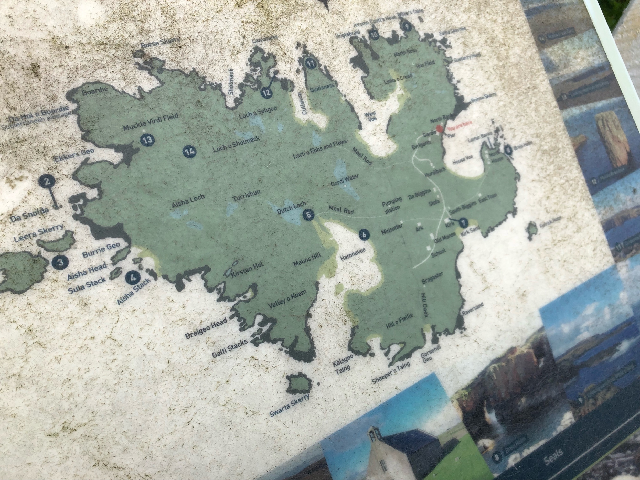
I pulled out the guidebook and showed him the map. “It’s supposed to be 7.5 miles,” I said, “but if you did the entire circumference it’s 18 kilometers.”
“Seven and a half miles! I hope you brought food with you, did you?”
I almost laughed as I assured him we did. Their level of concern for us was touching.
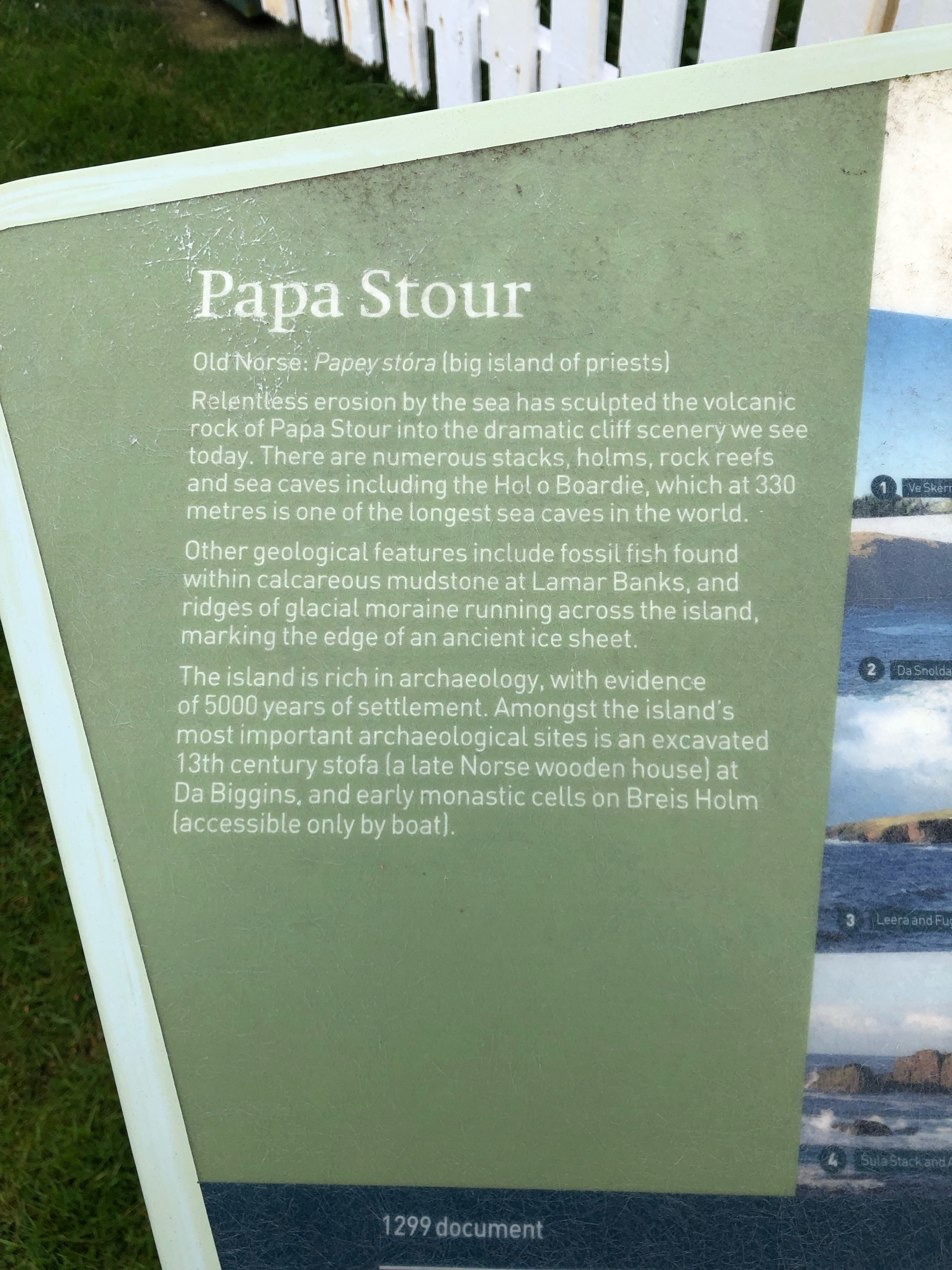
We moved on up the next hill as they drove off to explore the historic church on the island. There is a long history of religion on the islands. The Vikings nicknamed it Papey Stora in Old Norse which means the big island of priests. A community of Celtic missionary priests lived on the island as early as the 6th century. It was also a Norwegian royal farm and is full of prehistoric remains.

It was hard to imagine how people survived on the island for 5000 years and now 20 inhabitants remain.
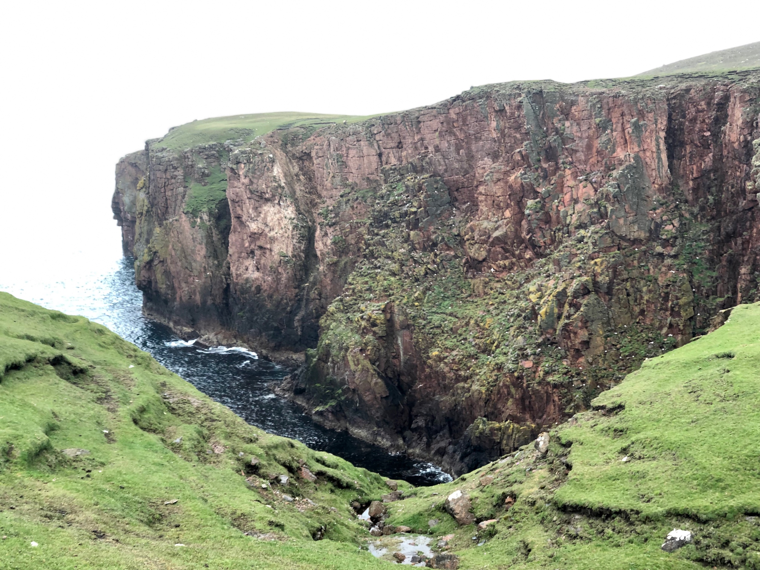
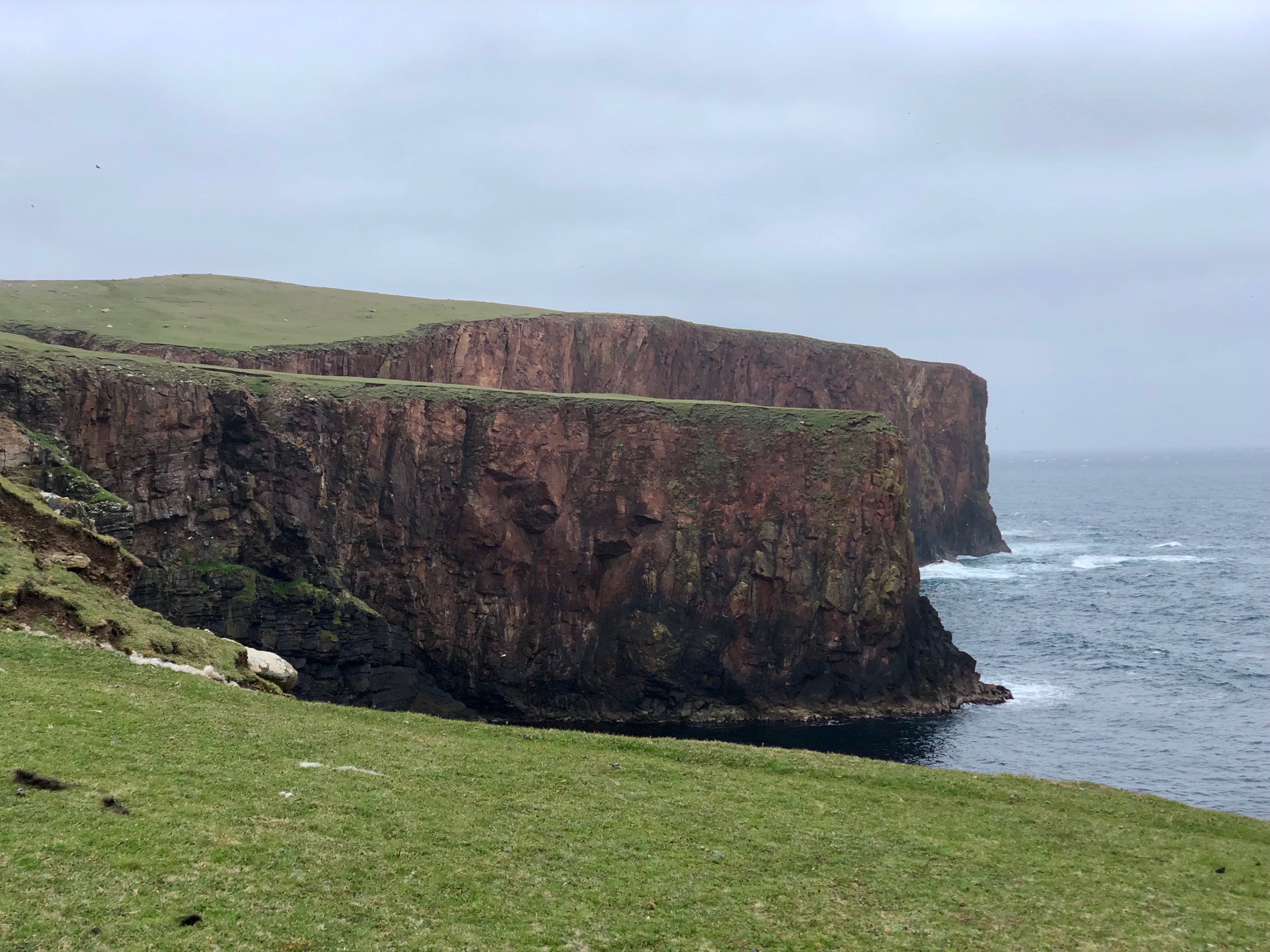
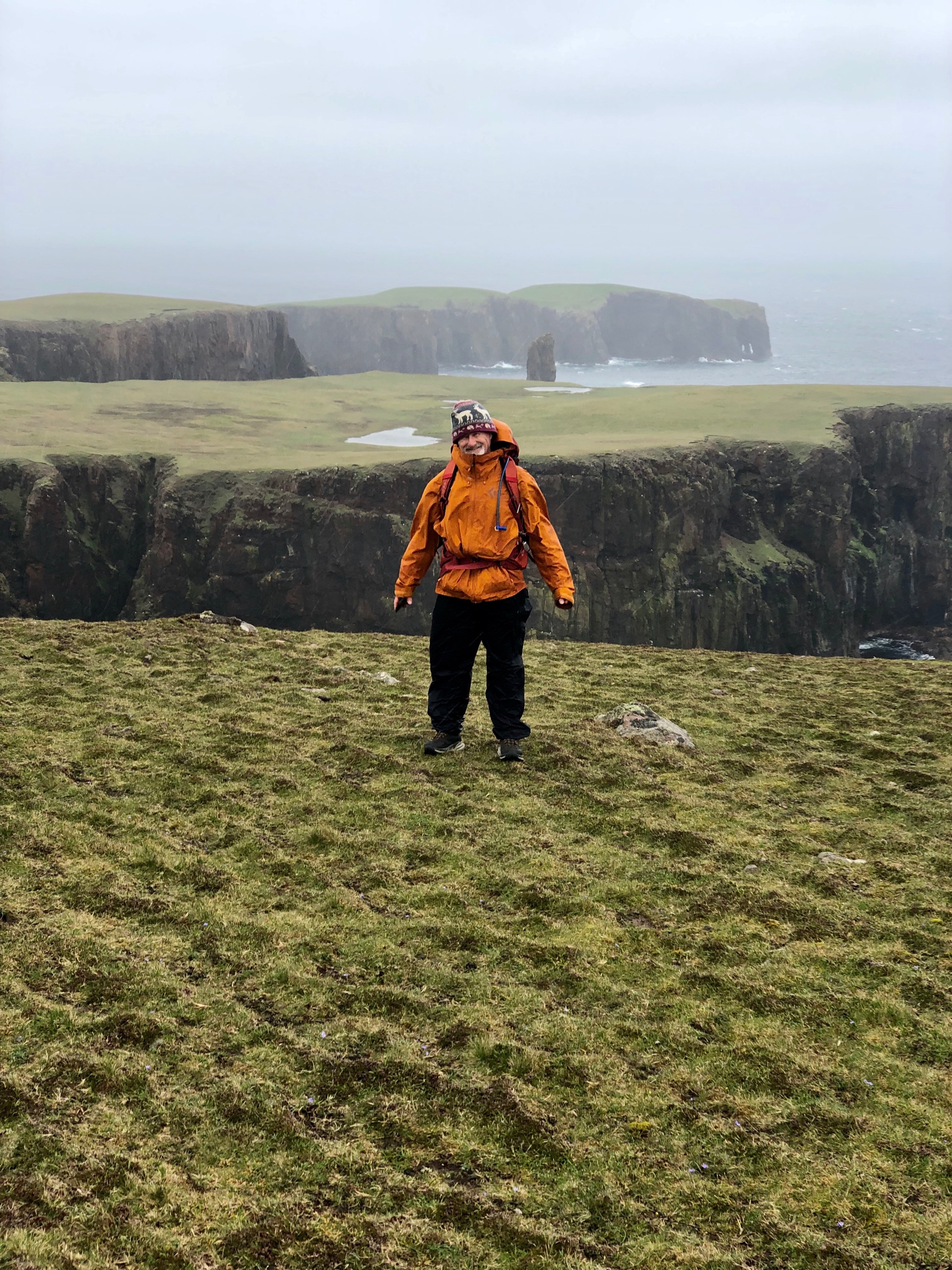
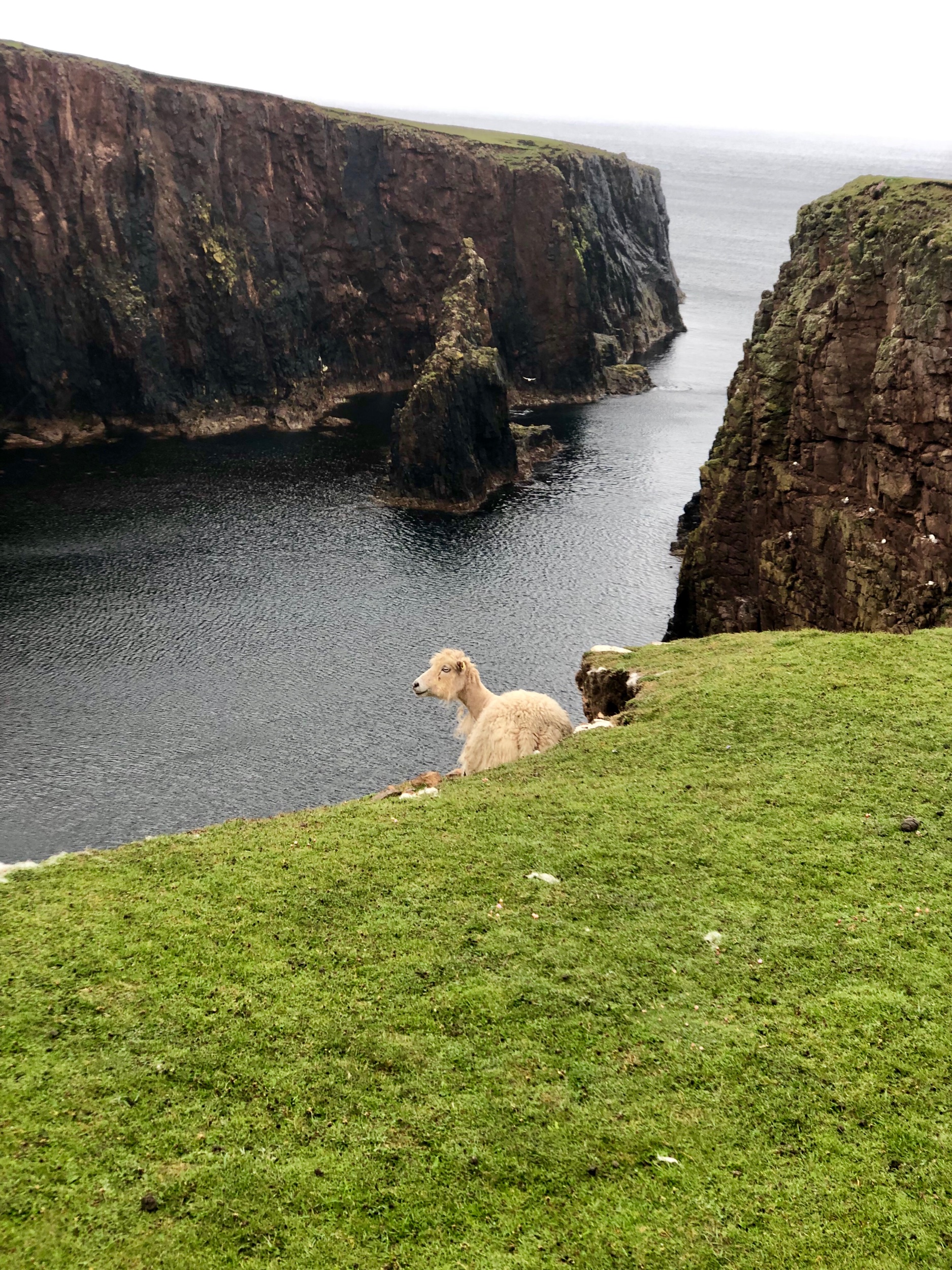
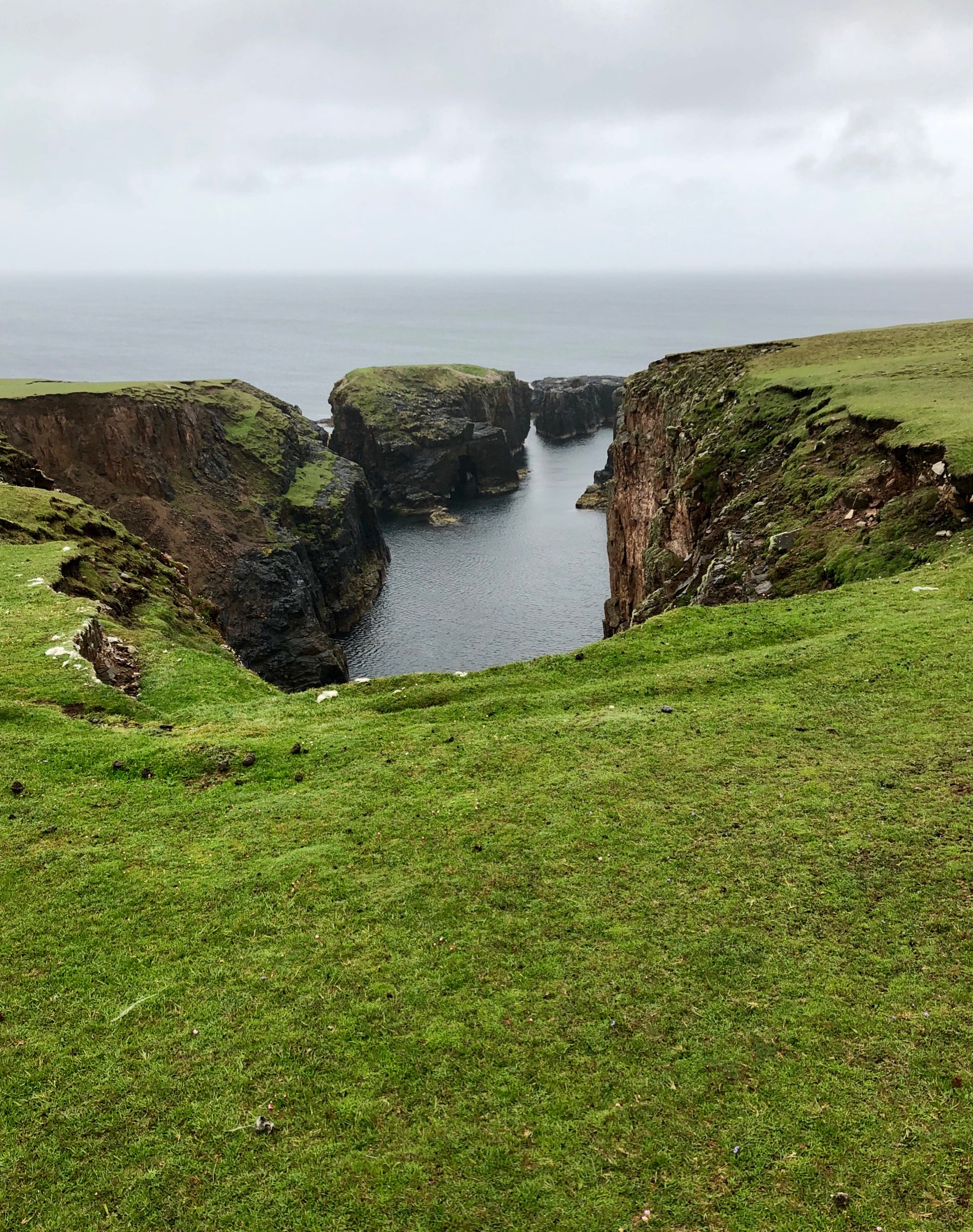
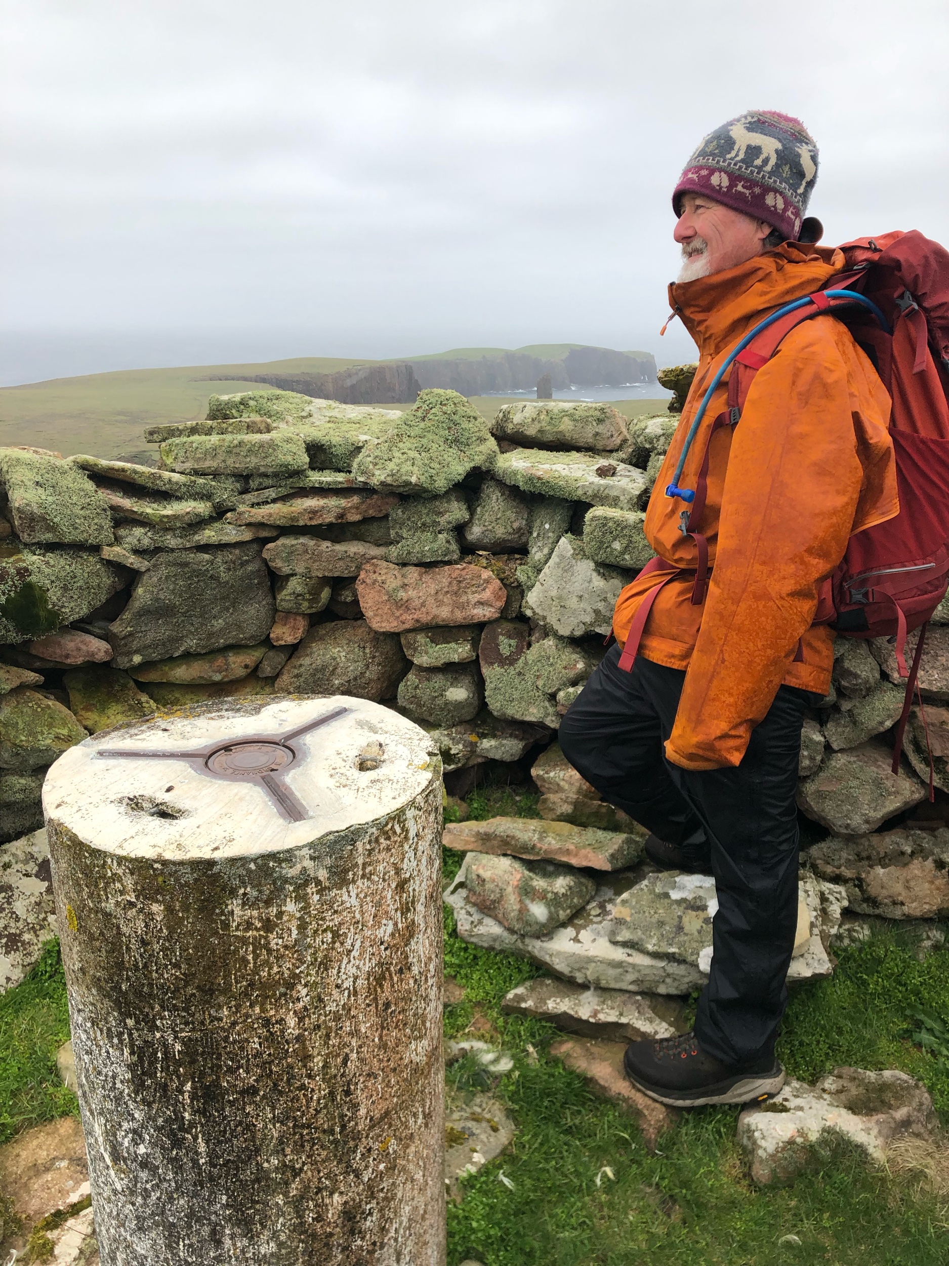
As we started to walk over sheep pastures to the north side of the island we could see large waves breaking on the rocks. We climbed and kept climbing until we reached the highest point on the island.

A lot of what was to become a 12 mile hike/walk had me feeling anxious about heights. We kept safely clear of the edges of green turf where cliffs straight down to the ocean were exposed but it was still worrisome as we made our way ever higher among the cliffs.

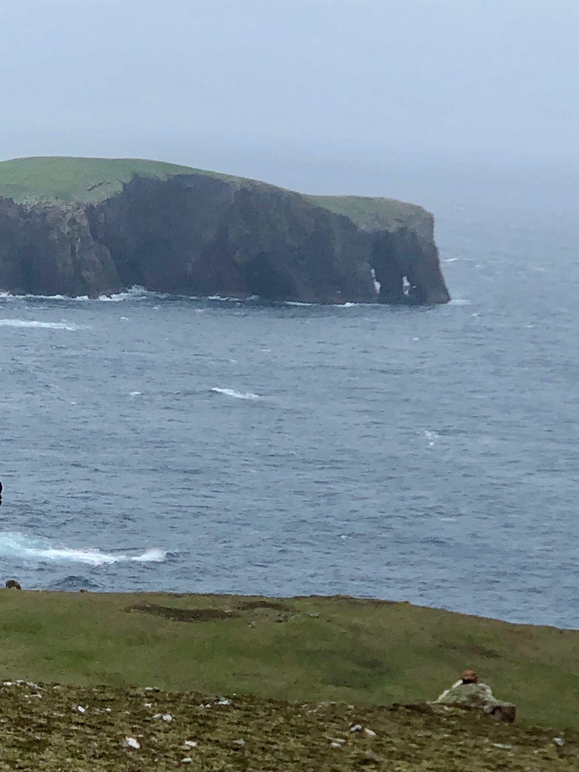
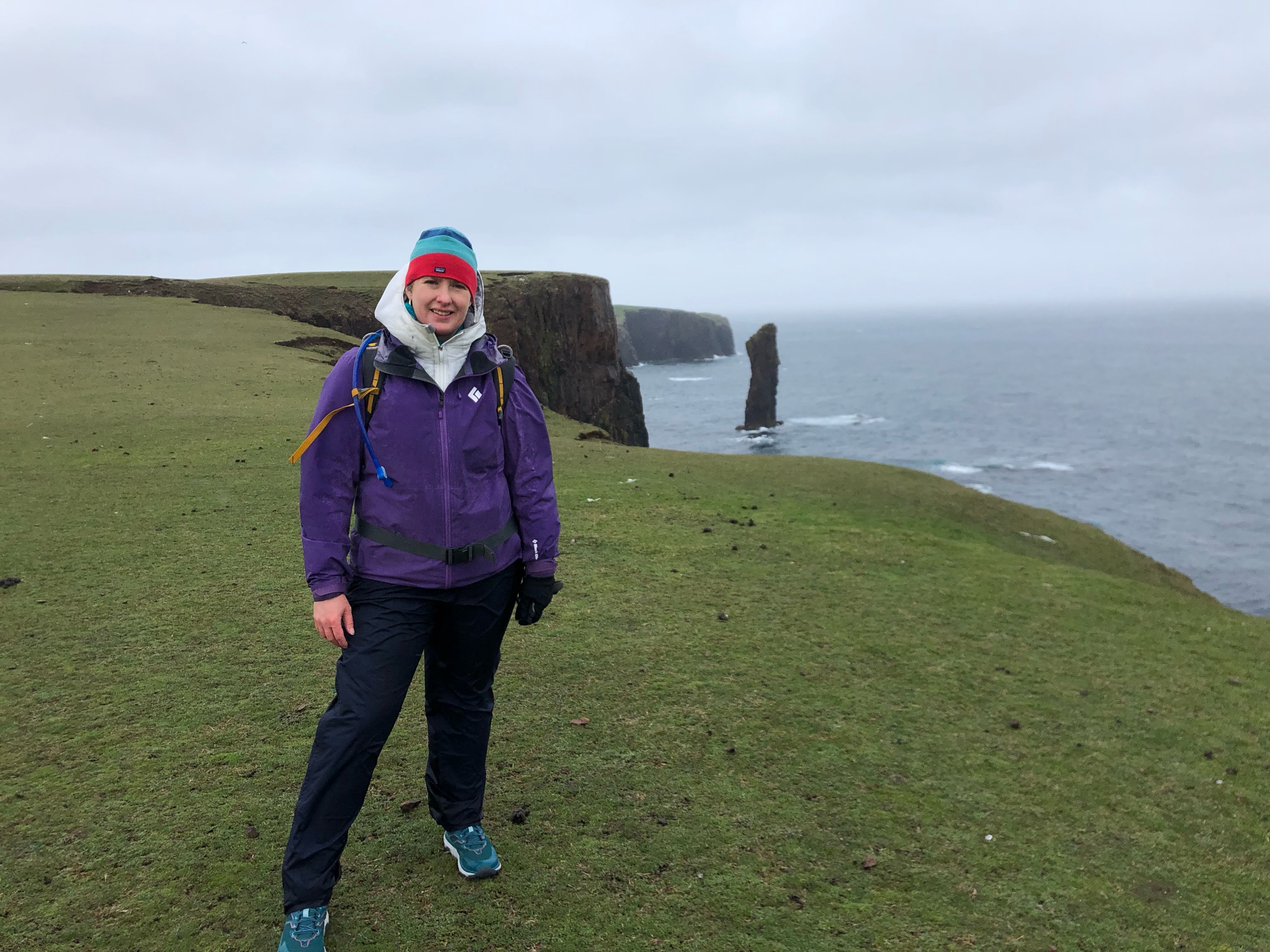
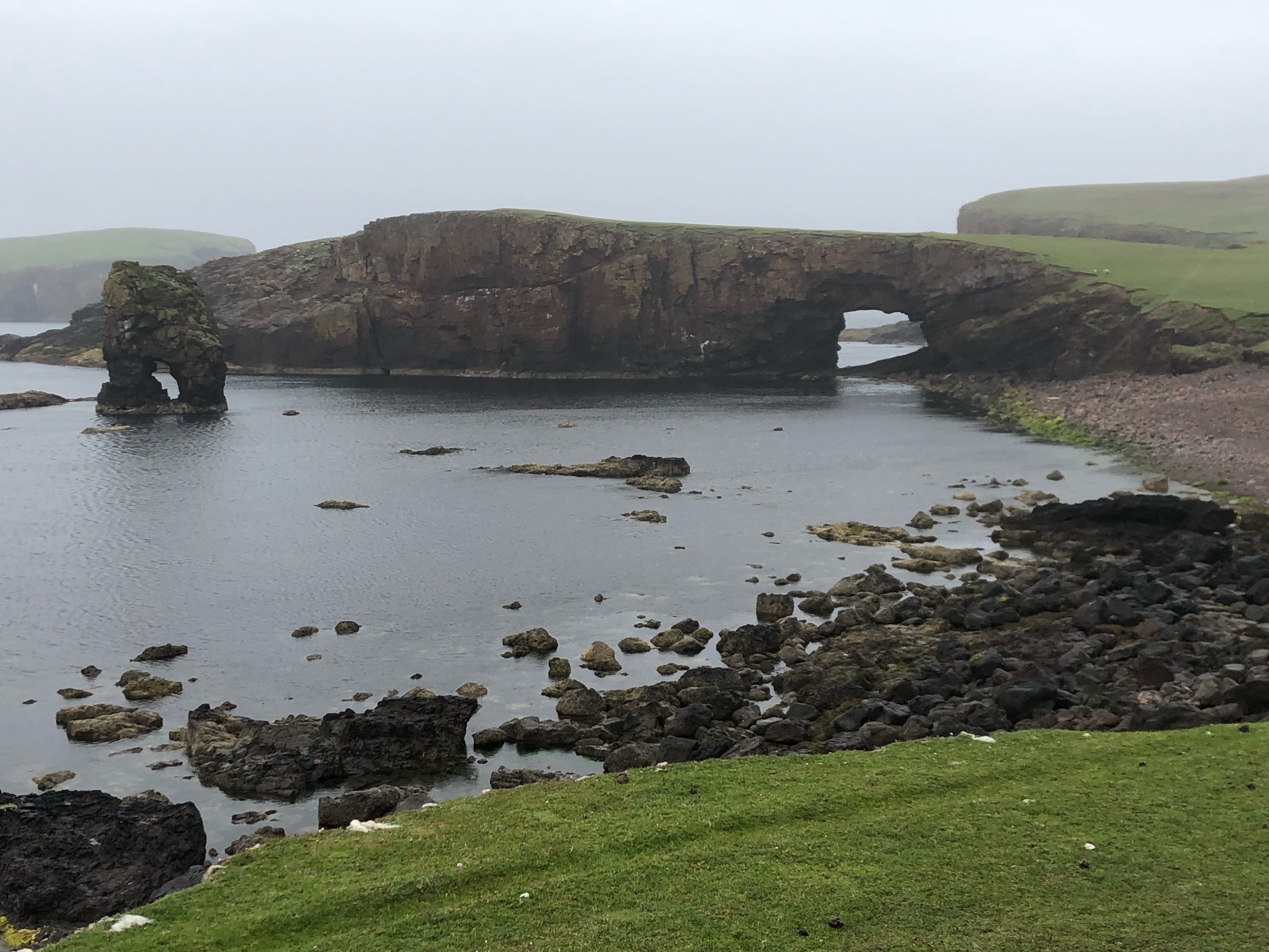
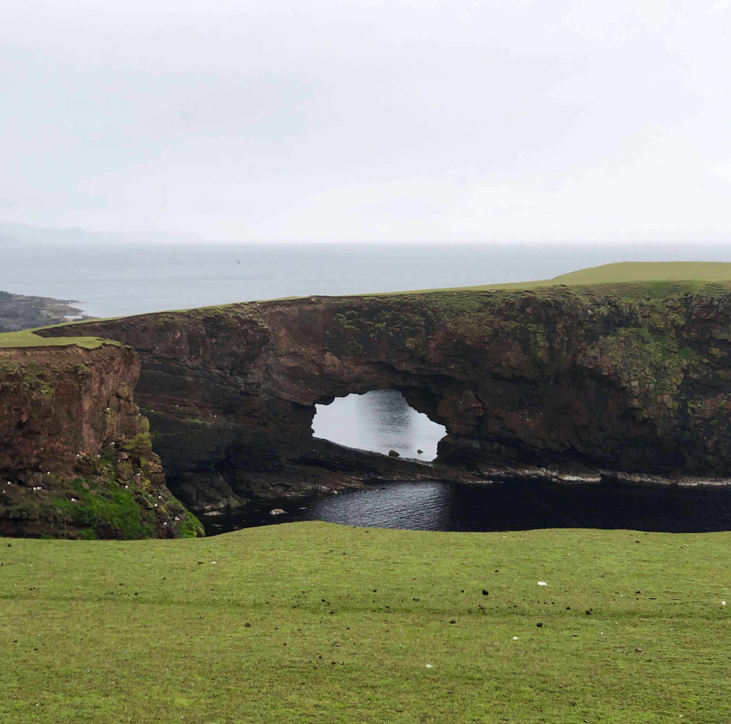
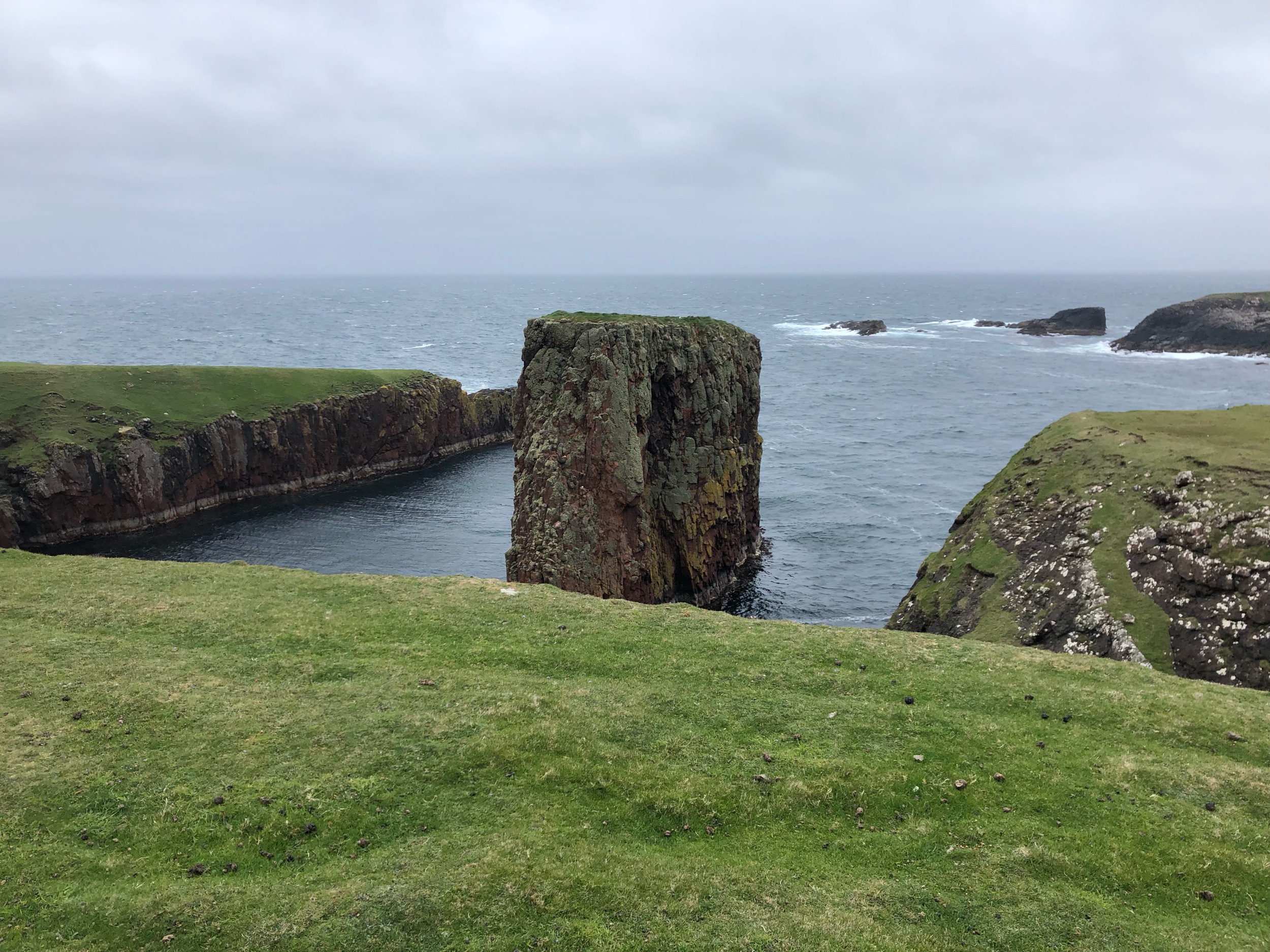
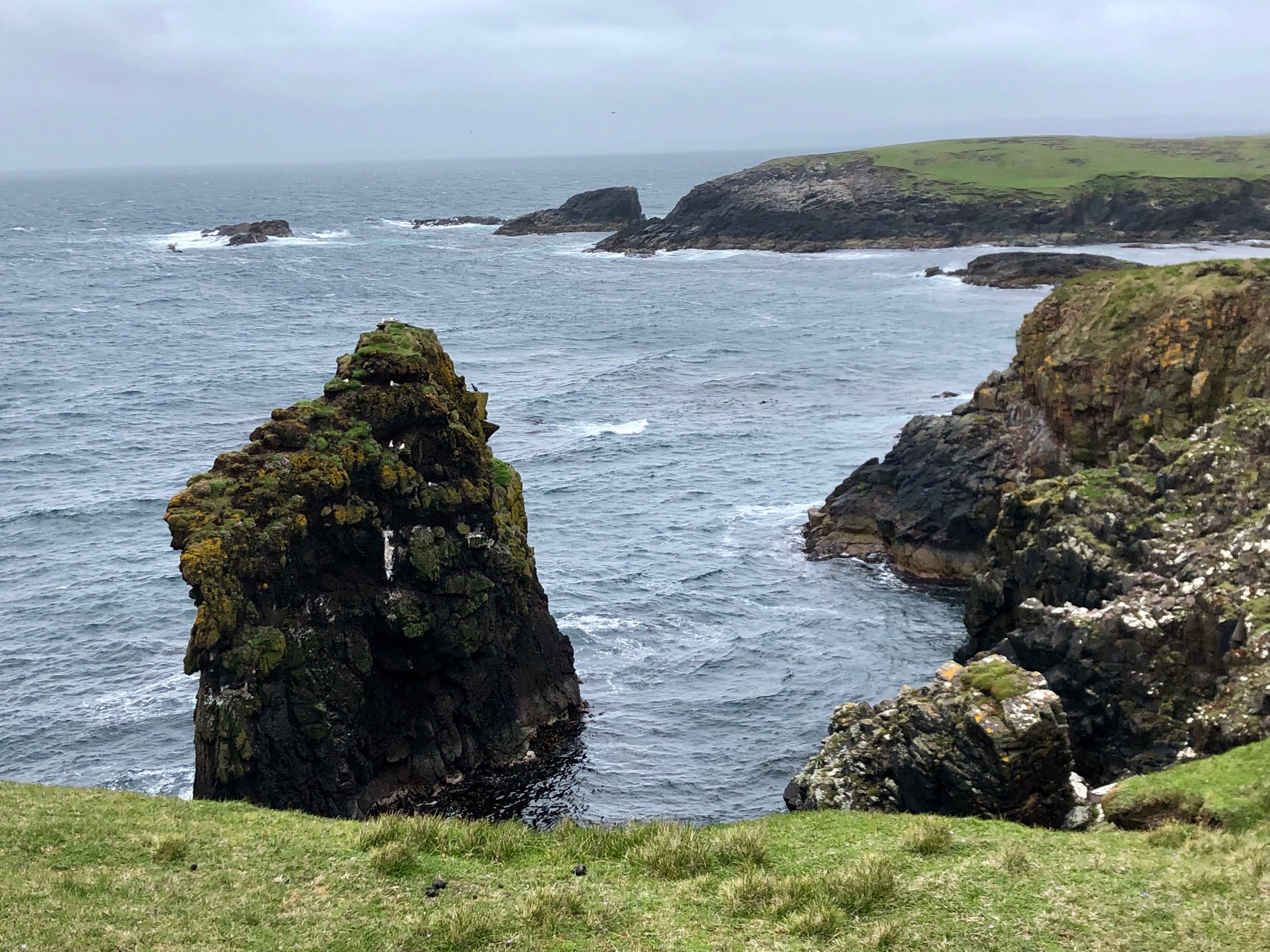
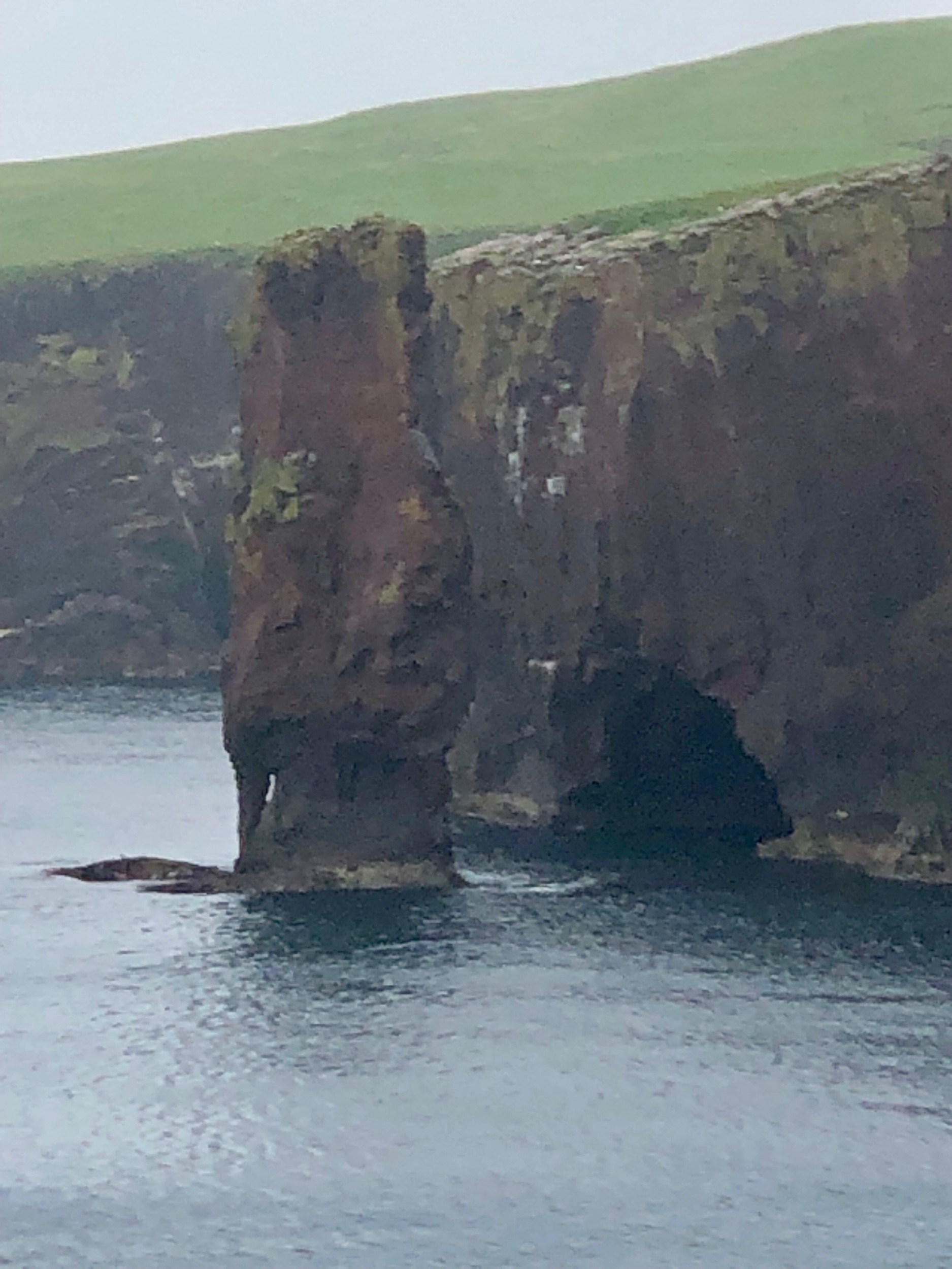
As we got to the far western edge we could see how the sea had sculpted arches, stacks, and skerries. It reminded me so much of the desert around Moab, Utah only in the sea.

As we walked skuas attacked us several times but this time we knew the trick to put one hand up in the air to scare them off. Still it’s unnerving to get attacked by a large bird while you’re walking perilously close to a cliff edge.
The rain started half way through the walk and our outerwear was completely soaked when we got back to the house. As we got close to home we stopped into the church to look at the stain glass windows commemorating the service of men and women in World War II.

It had been a marvelous day. Full of astounding views, historic stone structures, sheep and birds and not another soul out there with us.